
NORTH COMERAGHS County Waterford/Tipperary
Distance 72km, Elevation 720m
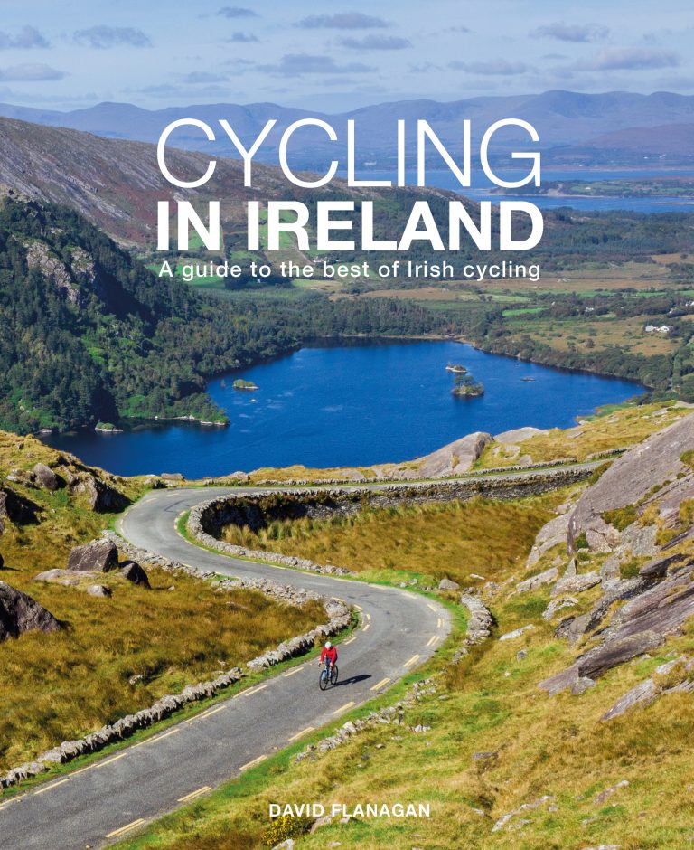
Thanks to David Flanagan for kindly providing this route, complete with turn by turn directions and a Strava route map from where you can obtain the GPX files for this ride.. In his brilliant book, Cycling in Ireland, you will find over 80 great cycling routes with something for everyone, across the whole island.This route combines a climb thr ough the Nire Valley with an easy stretch along the Suir Blueway.
It was on the steep climbs of the Comeraghs that Sean Kelly, a native of Carrick-on-Suir who reigned as the world’s number one cyclist for five consecutive years, laid the foundations for his amazing career. This route takes in one of these climbs, up the Nire Valley, and then follows the newly constructed Blueway up the River Suir from Carrick-on-Suir to Clonmel.
From the Old Bridge in Clonmel (52.3506,-7.7168) head south on the R671 warming up on rolling ground with good views across to the Knockmealdown Mountains.
Shortly before the village of Ballymacarbry the road starts to climb gently but it’s only when you cross the bridge over the Nire that you start into the meat of the climb up the Nire Valley. The gradient is fairly steady and never gets too steep. As you gain height you are surrounded by heather hillside and with the top of the climb in sight the angle eases. Just before the cattle grid turn right and then left at the junction.
This road (known as Power’s the Pot) leads down to the R678 which you follow through Rathgormack to the R676. Turn left and follow the road into Carrick-on-Suir. Make sure your brakes are in good order if you take the shortcut down the fearsomely steep Seskin Hill! From Carrick-on-Suir follow the Blueway upstream along the northern bank of the Suir on a good tarmac surface. A very flat and peaceful 20km leads back to Clonmel.
COFFEE STOP
Refreshments There is a café in Rathgormack shortly after the halfway mark and plenty of options in Carrick-onSuir.
TURN BY TURN INSTRUCTION
0 0 S From Laragh head west on the R756.
1.6 1.6 > Keep right at the fork.
20.5 22.1 < Turn left (signposted “St. Kevin’s Way“).
3.2 25.3 < Turn left at the junction.
2.2 27.5 < Keep left at the fork.
5.0 32.5 < Turn left at the t-junction.
4.2 36.7 > Turn right.
2.1 38.8 ^ Go straight through the crossroads.
0.7 39.5 < Keep left at the fork.
4.3 43.8 < Turn left.
5.3 49.1 < Turn left at the crossroads.
13.9 63.0 ^ Go straight through the crossroads.
7.6 70.6 < Turn left onto the R755.
1.4 72.0 F Arrive back in Laragh.